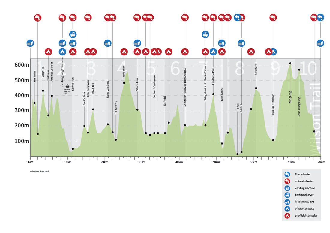
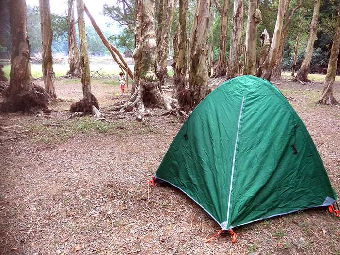
A dark horse, the Wilson is the most technical of the four. With over 6000m gain of relentless elevation throughout, this intriguing hike through a mix of Hong Kong urban and rural from the far south of Hong Kong Island to to the far north New Territories is not to be underestimated. Official campsites are few and far between on this trail - so wild camping is a necessity unless you stay in hotels. Luckily, the Wilson trail offers opportunities to try some of the best wild camping options in Hong Kong around Shing Mun reservoir, however, there is a particular dry patch around Sections 3 and 4. One option here is to take a ferry at the start of Section 3 from Sam Ka Tsuen ferry pier in Lei Yue Mun or Sai Wan Ho to Tung Lung Chau island where there is an official AFCD campsite, however with the ferry only running at weekends and public holidays, you are limited on this option. If you plan to finish one day near the start of Section 3 on a Saturday, try to reach the ferry pier at Lei Yue Mun or Sai Wan Ho by 4.40pm to utilise this option. If this part of your hike doesn't fall on a Saturday however, or if you miss the ferry, then you may find yourself at the top of Black Hill, in a disused quarry to the east of Ma Wan, or sleeping on a destroyed house in Lei Yue Mun. Which direction you decide to take this on may end up being dictated by the ferry, but expect a brute of a start and an ending whichever way you choose.
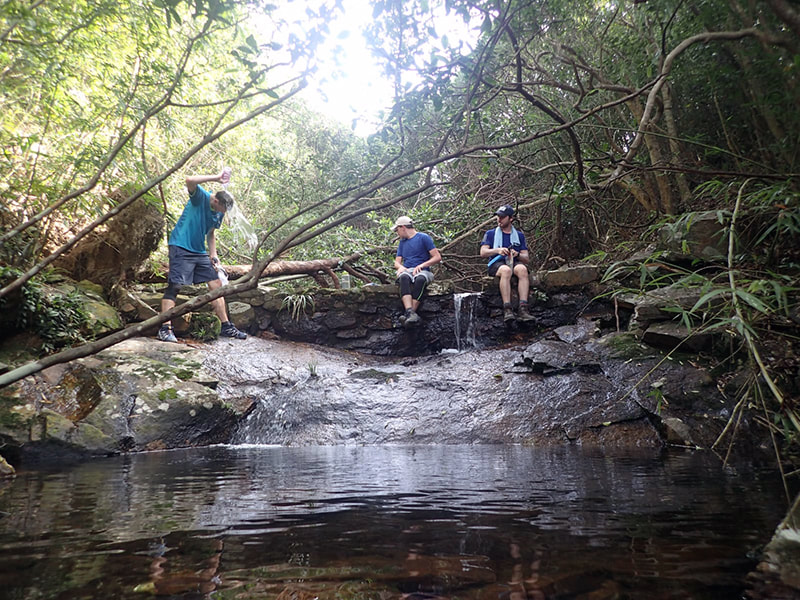
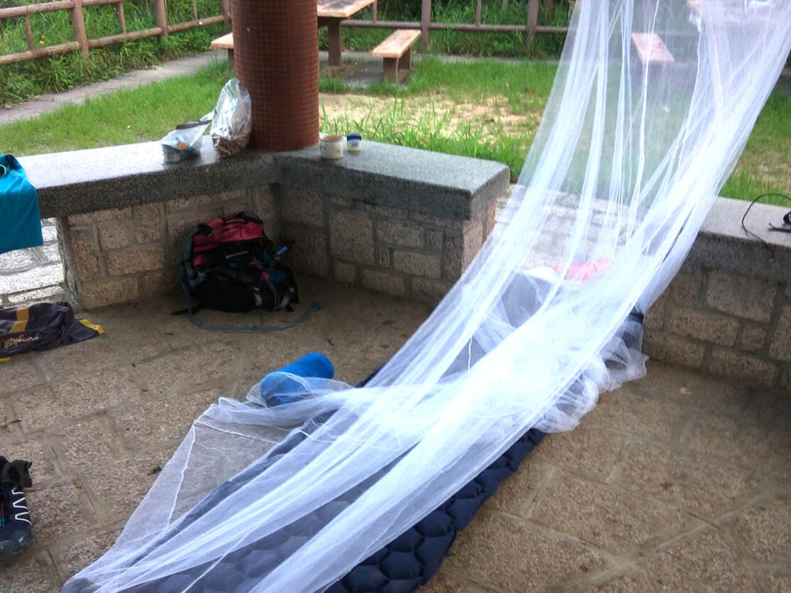
We took on the Wilson in reverse in June and with daytime temperatures in the blazing sunshine touching 34 degrees celsius and at night not much lower, going ultralight was essential, not only to make this one bearable but to avoid actual hospitalisation with heatstroke. On the plus side, the streams were running hard so were never short of water. We packed a mosquito net and mat for throwing up makeshift sites on hills and pagodas and planned in noodle stops to avoid cooking equipment. From the planning to the execution, this one was always going to be challenging.
We took on the Wilson in reverse in June and with daytime temperatures in the blazing sunshine touching 34 degrees celsius and at night not much lower, going ultralight was essential, not only to make this one bearable but to avoid actual hospitalisation with heatstroke. On the plus side, the streams were running hard so were never short of water. We packed a mosquito net and mat for throwing up makeshift sites on hills and pagodas and planned in noodle stops to avoid cooking equipment. From the planning to the execution, this one was always going to be challenging.
|
Stage |
Route |
Distance |
Time |
Rating |
Reverse Rating |
Start Marker |
End Marker |
|
1 |
Stanley → Wong Nai Chung Gap |
4.8 |
2.0 |
*** |
*** |
000 |
008/009 |
|
2 |
Wong Nai
Chung Gap → Lam Tin |
6.6 |
2.5 |
*** |
*** |
008/009 |
018/019 |
|
3 |
Lam Tin → Tseng
Lan Shue |
9.3 |
4 |
** |
** |
018/019 |
031/032 |
|
4 |
Tseng Lan Shue → Shatin
Pass |
8.0 |
3.0 |
*** |
* |
031/032 |
047 |
|
5 |
Shatin Pass → Tai
Po Road |
7.4 |
2.5 |
* |
* |
047 |
061 |
|
6 |
Tai Po Road → Shing Mun Reservoir |
5.3 |
2.5 |
** |
** |
061 |
069/070 |
|
7 |
Shing Mun
Reservoir → Yuen Tun Ha |
10.2 |
4.0 |
* |
*** |
069/070 |
088 |
|
8 |
Yuen Tun Ha → Cloudy
Hill |
9.0 |
4.0 |
** |
* |
088 |
105/106 |
|
9 |
Cloudy Hill → Pat
Sin Leng |
10.6 |
4.5 |
*** |
*** |
105/106 |
125/126 |
|
10 |
Pat Sin Leng → Nam
Chung |
6.8 |
2.0 |
** |
*** |
125/126 |
137/end |
Trip Report. 4 days.
Day 1. Nam Chung to Cloudy Hill. Sections 10 and 9.
18.4 km
18.4 km
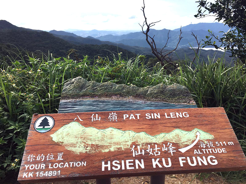
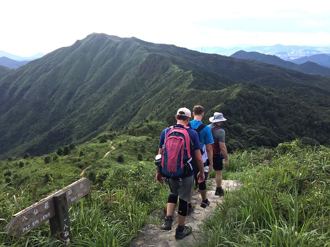
We kicked this one off in the north, deciding to do it in reverse aiming for the 4.40pm ferry to Tung Lung Chau on the Saturday to hit up the campsite. And with a Stanley finish on the Sunday seeming infinitely more tempting than a Sha Tau Kok finish in the far north our minds were made up - reverse it was to be. There is a good noodle place in Sha Tau Kok near the start where the fried rice is highly recommended. We filled our tupperware full of the stuff ready to eat for dinner on Cloudy Hill. This begins with a pleasant walk through forest at the start of section 10 with a few flowing streams to add to the experience, all the while lulling you into a false sense of security before the first hard ascent up 513 metres to Sheung Tsz Fung, the first of eight peaks along Pat Sin Leng mountain range. As you navigate the full range and it's undulating brutality you will be stunned by the rugged beauty of it all. 360 degree views over Shenzhen to the north and Hong Kong to the south cap off what is one of Hong Kong's best hikes. Make sure you fill your water up at the streams before the ascent as the range itself being so high and dry will offer you nothing at all in the way of liquid refreshments.
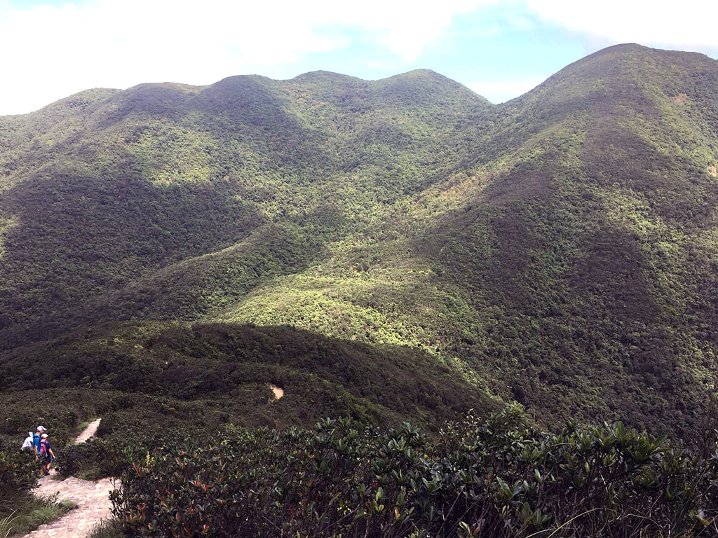
Taking on the range. Shenzhen in the distance.
Following the descent down from Pat Sin Leng at marker W114 you'll come out at a BBQ site at Hok Tau reservoir. This BBQ site would serve you well as a campsite and would fit nicely into a 5 or 6 day itinery, allowing you to split Pat Sin Leng and Cloudy Hill. There is an official AFCD campsite at Hok Tau, and a decent one at that, however it is a good kilometre from the trail and I don't see the point when the wild camping option at the BBQ site provides a large stream for water and a bath, picnic benches, a pagoda and plenty of space to pitch your tent. We were looking to finish in 4 days however, and with a 30km hike the next day we needed to polish off a few more kilometres, so we stopped at the BBQ site for a rest and dinner and filled up our water at the stream before pushing on up Cloudy Hill, the neon of Shenzhen in the dark providing some distraction from the burning in the calf muscles from the ascent.
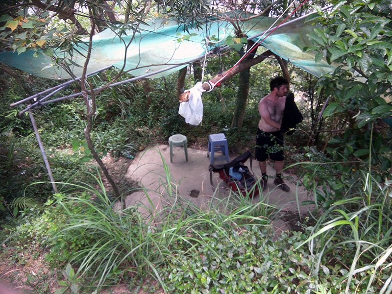
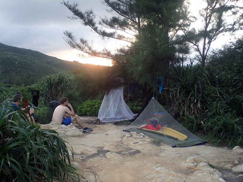
Our first day's lodging on the way down from Cloudy Hill. This won't rate well on Tripadvisor.
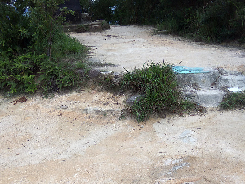
There are no rock solid camping options after Hok Tau reservoir until Section 8, well after Tai Po. So with battered knees and weariness creeping in after a long arduous day we threw up our mosquito nets at the first breezy space we found on the way down from Cloudy Hill. Not an ideal wild campsite but it served our needs. There is a better option at the end of Section 8 around Yuen Tun Ha, however this would push this day to over 26km, a good distance for one day but with a total elevation gain of well over 1000m it would require some serious consideration.
Day 2. Cloudy Hill to Shatin Pass. Sections 8, 7, 6, 5.
31 km
31 km
This was going to be a big day and for good reason. If we were to hit the 4.40pm ferry to Tung Lung Chau on the Saturday we had to finish far enough forward to give us a good shot at the ferry the following day. If you are going to go long on the Wilson, the middle stages are the time to do it. Sections 5,6 and 7 are one, two and one star ratings respectively and distance can be bagged here with relative ease.
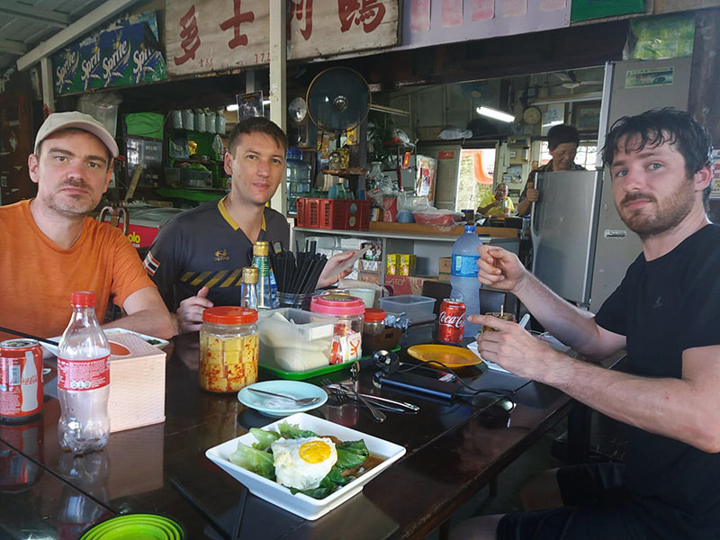
We were woken up early doors by the elderly walkers on their daily climb. Hats off to the Hong Kongers, one of the reasons the life expectancy is so high is that they get out at dawn every morning and climb stupid hills. These guys tend to be bemused by our early morning encounters rather than irritated so if you have second thoughts about throwing up a makeshift site on your thruhike in Hong Kong, don't be. Just offer up a smile and a polite 'Josaan Josaan' and everyone is happy. Climbing down to the bottom of Cloudy Hill you'll pass some public toilets where you can refill water then down the road a bit turn right at the train tracks. There is a wonderful little noodle place here where you will be warmly greeted by the owner with a large bowl of noodles, egg, ham and pak choi.
Section 8 of the Wilson trail is uneventful but with some pleasant views of Pat Sin Leng. It's mostly along concrete with a slight climb but nothing too nasty. You will pass a stream at the end of the concrete before the steps down to San Uk Ka village - a good place to stop for a rest and fill up your water. When you reach San Uk Ka, there is a small shop on your left on the way up Wun Yiu Rd. Grab a cold drink here and I have a feeling the old lady who owns the shop may even cook up some noodles if you ask nicely. Further up Wun Yiu Rd before the turn off onto the trail up to Lead Mine Pass at W088/087 is a lovely grassy area with a Pagoda. This would make a superb wild camping spot and it sits nicely between sections 7 and 8.
Each section of the trails in Hong Kong have a difficulty rating from 1-3 stars. 1 star indicates an easy walk, 2 stars expect some strenuous climbs and 3 stars is trouble, usually consisting of steep climbs, long distances and challenging terrain. The problem with these ratings is they only take into account the route from the start to the finish of the trail in the correct direction, not in reverse (in the table above I have included my own ratings for each section in reverse). Normally this isn't an issue as a 1 is usually a 1 in both directions and a 3 is a 3. But there are some sections which are a completely different ball game when taken in the reverse direction. Section 7 is a perfect example of this. It's a 1 star rating, and when taken on in the correct direction expect a pleasant concrete road up to Lead Mine pass then a long rocky trail down to the road. In reverse however, this is a 3 star hands down. You'll face a long steep climb up difficult terrain to Lead Mine Pass at around 400 metres. In 34 degree heat, this came at us like a train, especially as we were expecting a 1 star section. Fortunately there were several streams to cool off on the way up to Lead Mine Pass, without which the air ambulance may well have had to be called in.
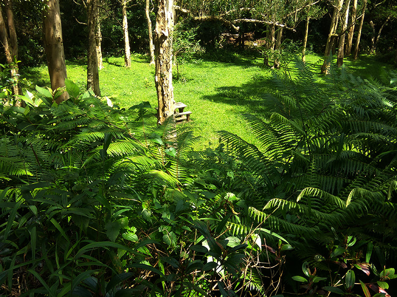
Lead Mine Pass is an ok-ish campsite but nothing to write home about. Shing Mun reservoir actually offers some of the best wild camping spots in Hong Kong, so if your itinerary involves a stop around Lead Mine Pass or by the reservoir my advice would be to plan to take advantage of one of these sites either at the north or south end of Shing Mun reservoir. At the north end, between W078 and W079 you have Shing Mun Picnic Site No.7. A gorgeous semi-secluded grassy area with benches and a good stream for water and bathing. Right next door to this site, down the steps from Shing Mun picnic site No.12 there is an outstanding wild camping space right by the reservoir. This is a large grassy area, however if you carry on to the right after descending the steps there are a couple of lovely secluded shady pitches around the corner near the stream. The enjoyment of this site and availability of pitches may depend on the time of year and the depth of the water at the reservoir. If your thru-hike involves a stop at the south end of the reservoir instead then we have our old friend from the Maclehose trail Shing Mun BBQ Site No.9. A great little site for around 4 tents well secluded and just off the trail. Any of these wild camping options are well worth a look.
Lead Mine Pass is an ok-ish campsite but nothing to write home about. Shing Mun reservoir actually offers some of the best wild camping spots in Hong Kong, so if your itinerary involves a stop around Lead Mine Pass or by the reservoir my advice would be to plan to take advantage of one of these sites either at the north or south end of Shing Mun reservoir. At the north end, between W078 and W079 you have Shing Mun Picnic Site No.7. A gorgeous semi-secluded grassy area with benches and a good stream for water and bathing. Right next door to this site, down the steps from Shing Mun picnic site No.12 there is an outstanding wild camping space right by the reservoir. This is a large grassy area, however if you carry on to the right after descending the steps there are a couple of lovely secluded shady pitches around the corner near the stream. The enjoyment of this site and availability of pitches may depend on the time of year and the depth of the water at the reservoir. If your thru-hike involves a stop at the south end of the reservoir instead then we have our old friend from the Maclehose trail Shing Mun BBQ Site No.9. A great little site for around 4 tents well secluded and just off the trail. Any of these wild camping options are well worth a look.
After Shing Mun reservoir there is a climb up onto the ridge at Smugglers Pass, then down to Golden Hill Rd briefly before an easy walk around Kowloon reservoir to Tai Po Rd. Cross the road and this is where Section 6 turns to 5. The trail skews east at this point onto an easy catchwater stage for 7.4km. As far as catchwaters go, this is a pretty nice one, with a wide road and good views to the north most of the way. There are several pagodas, grassy areas and viewpoints along this section which would work well as wild camping options, choose one that is further to the east though, as the western section is completely overun with monkeys. I have a feeling they may object to anyone attempting to muscle in on their territory. We chose a pagoda at around W050, and to be honest, after more than 30km we were absolutely finished and would have set up anywhere. There is a pipe and a tap just opposite this pagoda for water.
Honeymoon suite setup in a pagoda close to W050.
Day 3. Shatin Pass to Tung Lung Chau (ferry from Lei Yue Mun). Sections 4 and 3.
18 km
18 km
The race was on for these sections as we aimed to get to the last ferry at Lei Yue Mun at 4.40pm and with 3 star and a 2 star Sections to deal with over 18km and Hong Kong Observatory forecasting another day with temperatures near the mid-30's we were taking nothing for granted. We were off early up the steps and over to Shatin Pass. It was 7.30am when we hit Shatin Pass and the kiosk was opening so we took the opportunity with some instant noodles, a fizzy juice and some fruit before heading up to Tate's Cairn along Fei Ngo Shan Rd, a steep concreted road with outstanding views over east Kowloon.
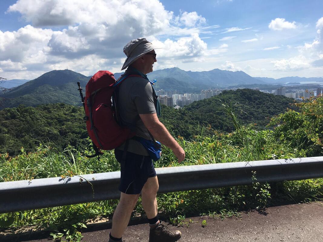
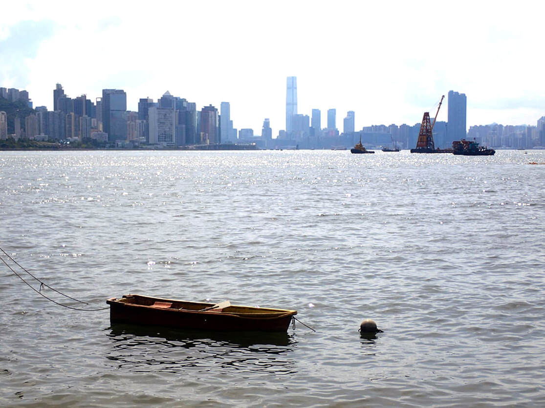
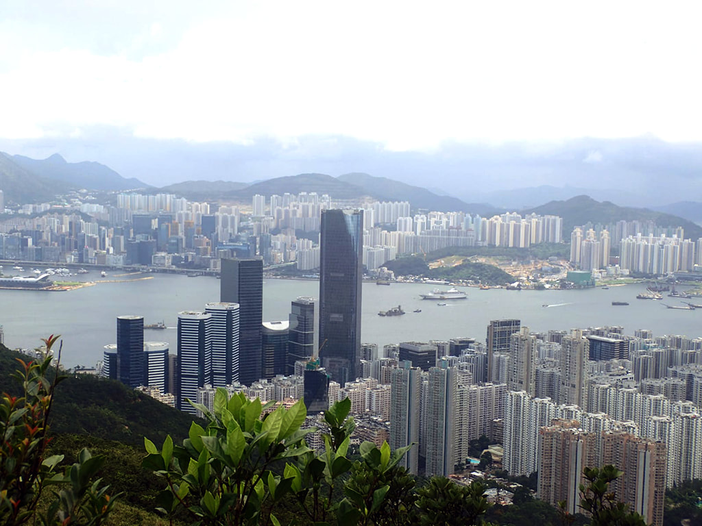
East Kowloon and Hong Kong.
There a couple of nice solo wild camping spots just off the trail around Tate's Cairn. One is up Tung Shan at W041 and the other is up a little off the road to Tung Yeung Shan between W040 and W039. Both are secluded, breezy sites, and offer excellent views. There really aren't that many other sites until Black Hill so these sites are worth considering, especially if you are going solo. Section 4 is rated as a 3 star, and it certainly is if you are coming from the south. If coming from the north like we did, it's not too strenuous, the walk down to Tai Lam Wu Rd is steep and rocky but can be cleared with minimal pain. The trail veers off again from Tai Lam Wu Rd up a rocky trail and down again through a lovely farm and village to Clearwater Bay Rd. Just before the road there is a noodle place where you can eat, rest and restore your energy before taking on Section 3.
The Wilson. A sado-masochist.
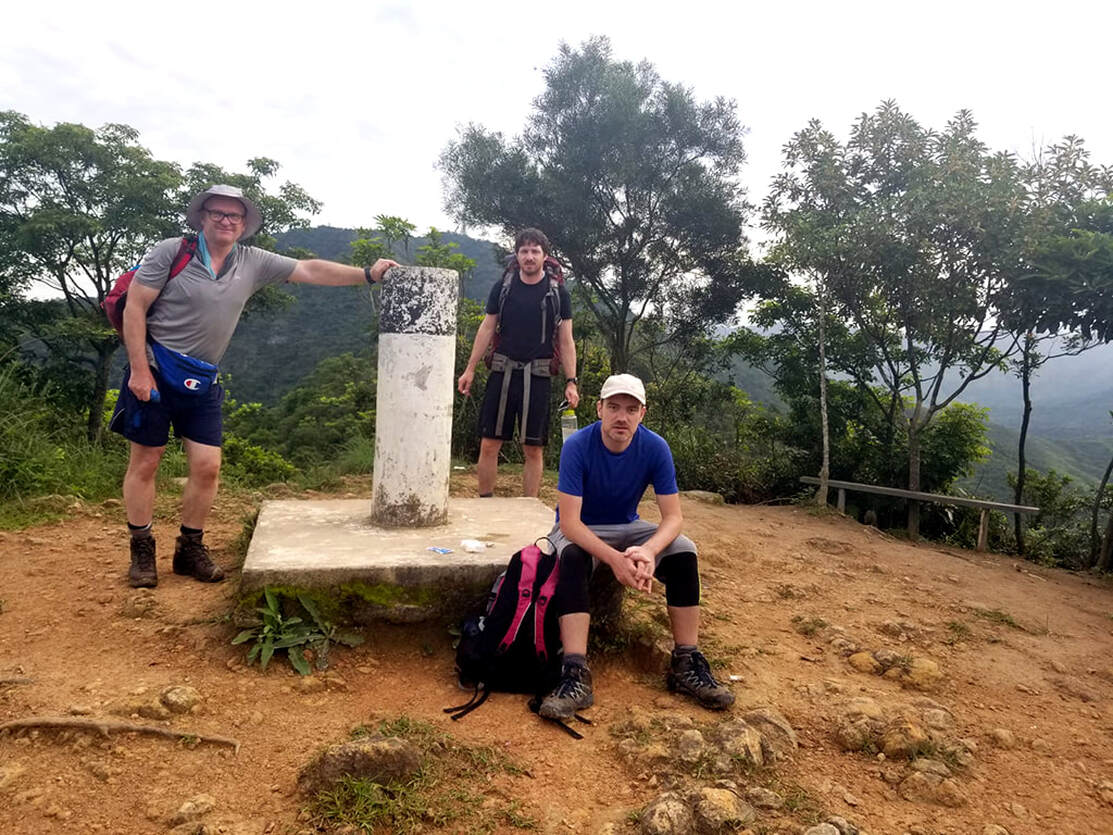
Section 3 has little in the way of camping options, a real problem as this is the section that needs a good reliable site when doing this in either direction. At the top of Black Hill Reflector around W025 there is a small shelter with room for about 2, and some additional space for two or three tents. Further back on Section 3, at Black Hill Triangulation Station, there is further flat ground which could be camped on. After Black Hill, there is a descent to O King Road and then a climb back up to another trail. At this point, there is a Wilson Trail sign which leads you off the trail up 30 steps before bringing you straight back to the original trail you were on before. For no reason at all apart from to frustrate and anger. The Wilson is confounding like this. He'll drive you straight up steep mountains without question and then at other times such as at Devil's Peak, you'll be marched straight towards a brutal climb then spared at the last minute. He's a tease at best, and a sado-masochist at worst. It's like he's is toying with you, and that makes this trail not only physically tough, but psychologically tough as well.
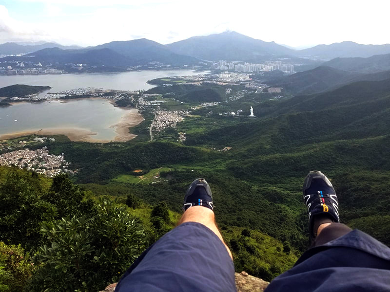
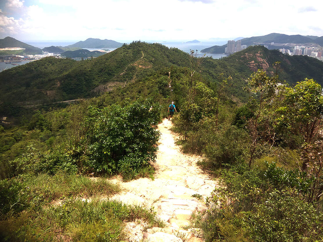
On the way down from Black Hill.
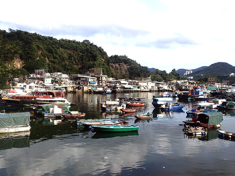
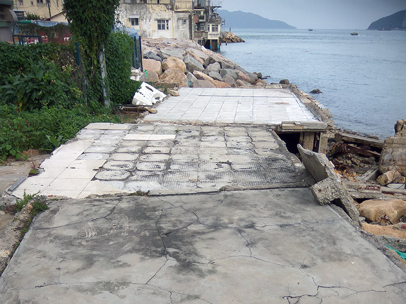
Following Black Hill, the Wilson will bring you behind Gough's battery and Devil's peak before bringing you down to the catchily named Junk Bay Chinese Permanent Cemetery Access Rd. At this point the official trail takes you to the right along this road then down into Kowloon towards Lamtin MTR. This isn't a particularly interesting route, and can be confusing as it isn't well marked. If you aren't desperate to go to the MTR, or if you are aiming for the ferry, I recommend taking a left on the main road then your first right on the next trail down to Lei Yue Mun via Ma Wan village. Ma Wan village is an old fisherman's village which has seen better times, but is more interesting than the urban skyscrapers of Lamtin. There is a small shop here, a public bathhouse, a lighthouse and further along there are a number of high-end seafood restaurants before the harbour and ferry pier. It's a really intriguing area of Hong Kong and definitely worth a little look. The public bathhouse has hot showers available in the morning and from 4.30pm till 8pm. Otherwise showers are available further up at the sports centre. Behind the bathhouse there is a destroyed house with four exposed flat concrete floors where it may be possible to wild camp but it's a risky one. Otherwise the only other option around here would be the quarry - about a kilometre to the east of Ma Wan village. A safer option - around the harbour you will find the ferry pier at Sam Ka Tsuen. There is a ferry on Saturdays, Sundays and public holidays to Tung Lung Chau Island where there is an official AFCD campsite, and every day there are ferries from here that run to Sai Wan Ho, close to the end of Section 2. We aimed for the ferry to the campsite, and made it with some time to spare.
About Tung Lung Chau
There are two piers at Tung Lung Chau. The Public Pier and the North pier, both are served by different ferry companies. The Public Pier is 1km hike from the campsite and the North Pier is close to the campsite. To cut a long story short, all ferries from Kowloon side go to the Public Pier and all ferries from Sai Wan Ho go to the North Pier.
North Pier (Fat Tong Mun Pier) (near the campsite)
Served by Blue Sea ferries from Sai Wan Ho on HK Island.
Served by Blue Sea ferries from Sai Wan Ho on HK Island.
|
Saturdays
From Sai Wan Ho (HK Island) 9.00 a.m. 10.30 a.m. 12.00 noon 3.15 p.m. 4.40 p.m |
From Tung Lung Island 9.45 a.m. 11.15 a.m. 2.30 p.m. 4.00 p.m. 5.30 p.m. |
Sundays and Public Holidays
From Sai Wan Ho (HK Island) 9.00 a.m. 10.30 a.m. 12.00 p.m. 3.15 p.m. 4.40 p.m. |
From Tung Lung Island 9.45 a.m. 11.15 a.m. 2.30 p.m. 4.00 p.m. 5.30 p.m. |
Public Pier (Nam Tong Pier) (1km from the campsite)
Served by Coral Sea Ferry Services
Saturdays, Sundays and Public Holidays
Served by Coral Sea Ferry Services
Saturdays, Sundays and Public Holidays
|
From Sam Ka Tsuen (Kowloon)
8.40 a.m. 10.10 a.m. 11.15 a.m. 1.20 p.m. 2.40 p.m. 4.40 p.m |
From Tung Lung Island
9.15 a.m. 10.45 a.m. 11.50 a.m. 2.00 p.m. 3.20 p.m. 5.15 p.m |
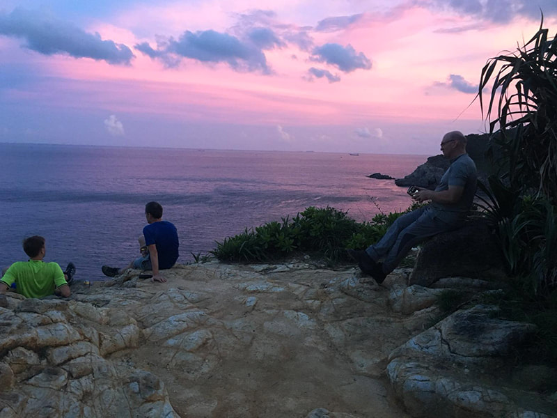
Tung Lung Chau is a desolate island with a couple of restaurants. The main campsite is likely to be full of noisy people and families so as you get to the campsite either go for the site up the hill to the left, or carry on past the pagoda and up the hill past the fort - aim for the beautiful top site here with views over the ocean. If you can't bag that then the next one down is pretty good too.
Day 4. Tai Koo to Stanley. Sections 2 and 1.
10.6 km
10.6 km
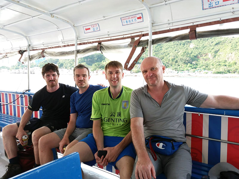
The Hong Kong Island sections of the Wilson were to be our shortest day hike, but with a 2 star and a 3 star (3 and 3 in reverse), we knew we were in for a hard day, especially as we had the iconic Twins' +1000 steps to deal with. We took the 9.15 ferry back to Sam Ka Tsuen from the Public Pier and then waited 10 minutes to then board a cross-harbour ferry to Sai Wan Ho. Although camping on Tung Lung Chau was an interesting diversion, it did tend to take the momentum out of the thru-hike because of the all the waiting and the ferry, so choose another option if you intend to keep the momentum going. At Sai Wan Ho we got a taxi to the trailhead just south of Tai Koo station which marks the end of Section 2.
On the way back into Hong Kong from Tung Lung Chau island.
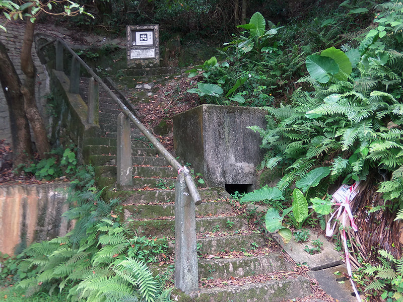
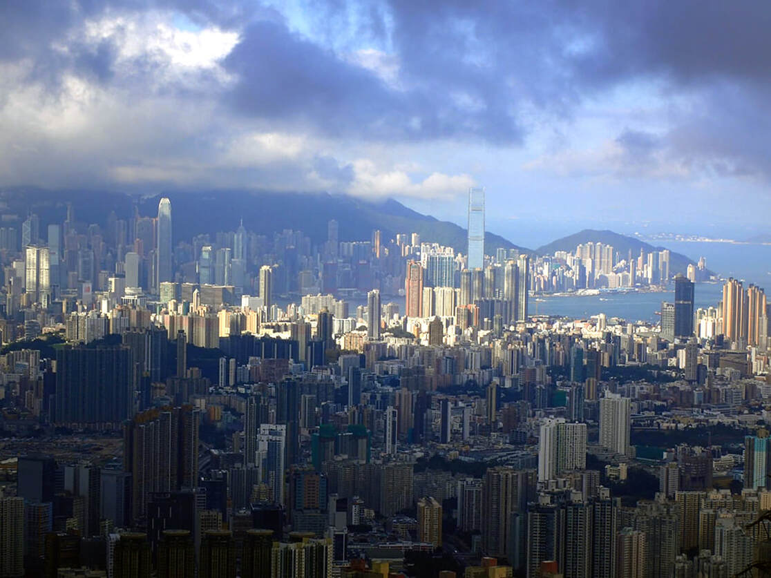
Section 2 is a 3 star rating when done in reverse. It starts not too shabbily, the kind of trail which has stair sections but with flats where you can get your breath back. Between W016 and W017 you will find a strange kind of religious statue disposing some water from the hills from a pipe. Get filled up fully here, as water is extremely scarce until the bridge between Violet Hill and the Twins, which is a long way. There will be a path to the right up towards mount Butler. At around 400m this is a tough climb, but the views across Hong Kong are outstanding, unfortunately they were at our back as we were doing this in reverse. At Mount Butler you will turn west onto the Hong Kong trail which will take you down then up steeply again to Jardine's lookout. We could see Shenzhen from here, a real rarity in Hong Kong as the pollution levels were so low. Back down again to Parkview where you can have a rest before taking on Section 1.
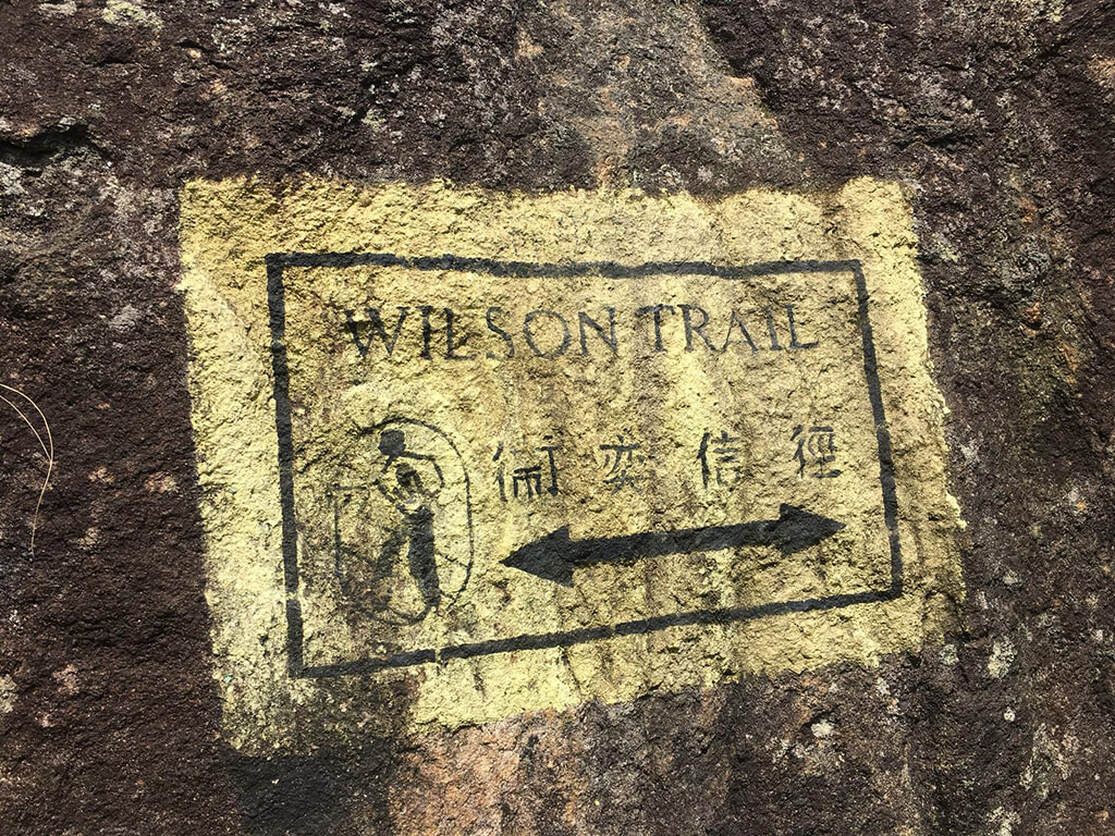
Section 1, and our final stage on this hike is a brute of a thing. Up Violet (aka Violent) hill, then down steeply into the valley. There is a stream here, by Tze Kong bridge here where you really should fill up your water before the last challenge - the Twins. Most hikers in Hong Kong have taken on the Twins at some point and they are something of a legend and for good reason. There are over 1000 steps here to deal with and they are steep as hell. Hong Kong doesn't do switchbacks and the Twins is a prime example - on a busy day you can look straight up these steps and see a variety of people sitting with their heads in their hands wishing they'd stayed at home watching Netflix. On this June afternoon, we were the only ones mental enough to take them on, but with a steady pace and some controlled breathing they were finally done and out the way, Stanley could be seen in the distance and we knew we were nearly done. It's a long steep descent which is undoubtedly a hard start on the Wilson if coming the correct direction and finally to the Wilson plaque which marks the start - and our end - of this perplexing, frustrating, challenging but rewarding 78km hike.
The end in sight.
Alternative Itineraries (reverse only)
3 days
Day 1 Nam Chung to Shing Mun Reservoir (by Shing Mun Picnic Site No.12) (31km)
Day 2 Shing Mun reservoir (by Shing Mun Picnic Site No.12) to Black Hill (30km)
Day 3 Black Hill to Stanley (17km)
5 days
Day 1 Nam Chung to Hok Tau Reservoir BBQ site (13km)
Day 2 Hok Tau Reservoir BBQ site to Yuen Tun Ha Picnic Site (14km)
Day 3 Yuen Tun Ha Picnic Site to Section 5 catchwater (20km)
Day 4 Section 5 catchwater to Black Hill (14km)
Day 5 Black Hill to Stanley (17km)
6 days
Day 1 Nam Chung to Hok Tau Reservoir BBQ site (13km)
Day 2 Hok Tau Reservoir BBQ site to Yuen Tun Ha Picnic Site (14km)
Day 3 Yuen Tun Ha Picnic Site to Shing Mun BBQ Site No.9 (9km)
Day 4 Shing Mun BBQ Site No.9 to Section 5 Pagoda (11km)
Day 5 Section 5 catchwater to Black Hill (14km)
Day 6 Black Hill to Stanley (17km)
